
Satellite imagery,
upscaled.
Access to satellite imagery is characterized by high costs for resolutions below 10 meters per pixel, or free alternatives with low resolution.
Affordable solutions for
super-resolution satellite imagery.
We offer two service modalities for accessing satellite imagery at super-resolution — 4 meters per pixel.
Process your Sentinel-2 imagery
Send us your Sentinel-2 images and we upscale them to a resolution of 4 meters per pixel.
Delivery by coordinates
Provide the centroids of 1280 m × 1280 m square polygons and we deliver them at high resolution (4 meters per pixel).


Real before-and-after results
Compare the original input against the re-scaled output so your team can judge how much visual detail is gained.

Use
cases
Teams that need to upscale satellite imagery to improve visual reading, technical review, and presentation quality.

Streets and blocks
Upscale urban scenes to improve the reading of roads, blocks, and occupation patterns in side-by-side comparisons.

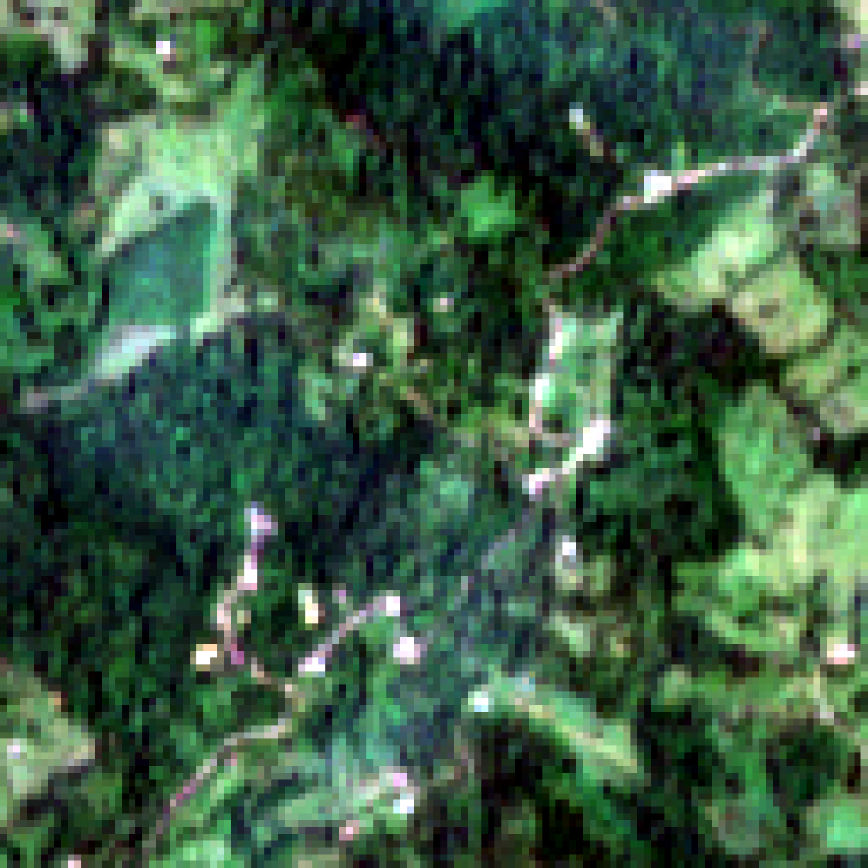
Parcels and coverage
Add clarity to field patterns, parcel edges, and coverage when you need to review agricultural or territorial imagery.

Edges and contrast
Improve separation between water, coastline, vegetation, and sensitive terrain for clearer comparative review.

Ports and nodes
Upscale imagery of ports, yards, and logistics nodes for more useful visual reading in review, reporting, or technical evaluation.
Packages by processed image
Buy processing capacity in image bundles based on your actual volume, without forcing a monthly subscription.
- 25 processed images
- Before and after comparison
- Delivery ready for review
- Initial technical alignment
- 100 processed images
- Priority queue handling
- Private validation on your own scenes
- Batch exports
- 500+ images per batch
- Dedicated SLA and priority
- Custom workflow or integration
- 24/7 support
Demo Request